Provide excellent geographic information solutions for all walks of life
Electric power grid
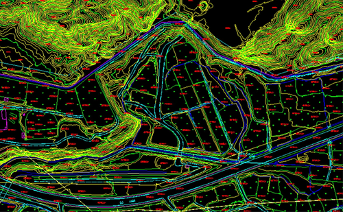
engineering construction
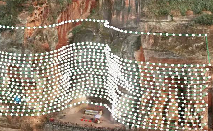
cultural heritage
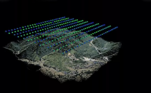
Digitization of power grid
TUYUAN GIS adopts the 3D visualization technology based on UAV tilt photography to complete the true restoration of distribution lines and corridors, providing an intuitive basis for the optimal design of distribution network, so as to make the optimal design of distribution network more rapid, efficient and accurate.Compared with the traditional optimization design mode of transmission channel, the 3D technology of real scene has the advantages of large scene and real space, which can significantly improve the efficiency and design quality in the practical application process.
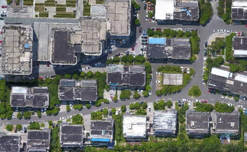
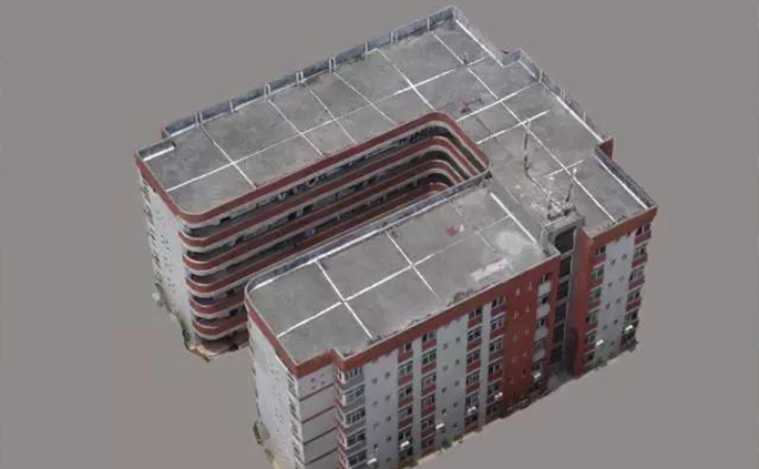
With the concept of "smart city" put forward, UAV tilt photography technology is a very representative technology.Chengdu Tuyuan GIS can provide you with technical services such as preliminary construction survey, real 3D model integration BIM model aided building planning and design, building engineering survey and construction supervision, and building completion acceptance.
TUYUAN GIS can use tilt photography technology combined with close photogrammetry technology to produce a refined three-dimensional model of the real scene of ancient buildings, and truly restore the structure and details of ancient buildings, reflecting the beauty of Chinese culture and art contained in ancient buildings.Digital cultural heritage can not only be used for learning and appreciation, but also for imitation, repair, reconstruction, 3D printing and other purposes.The preservation of digital cultural heritage is of great significance in carrying forward and inheriting Chinese culture.