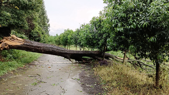
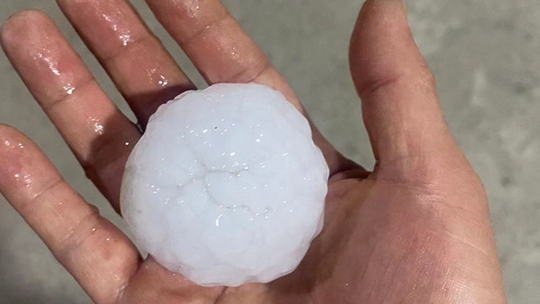
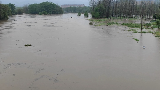
Baise Tongling Grand Canyon
22℃ / 15℃
 <Level 3
The Tongling Grand Canyon is 3.8km long, connected by Tongling Gorge, Nianba Gorge, underground rivers and tunnels, and connected to the sky and the earth, with an ethereal aura. The cliffs of the canyon are steep and deep, the huge stalactite cliffs hang upside down, the ancient trees and vines block the sky, and mysterious caves and deep pools are scattered everywhere. Water curtain holes, underground rivers and spectacular waterfalls, the rivers are winding back, the water is gurgling, and the valley is green and dripping. The Tongling Grand Canyon was originally a blind valley. Due to the influence of the crustal movement, the sky moves and the earth moves, forming a large sinkhole. The surrounding cliffs are steep and spectacular. The deep canyon, clear streams, verdant vegetation and the 188.6-meter psychic waterfall complement each other, making the whole canyon full of vitality and spirituality.