China Earth Digital Mars Program professionals.Engaged in GIS data processing and mapping for a long time, proficient in geological, geophysical and geochemical data processing and mapping, and good at 3D geological modeling.Proficient in MapGIS, ArcGIS, DGSS, AtuoCAD, Surfer, Grapher, voxler, 3Dmine and other software.The Professional Geological Mapping Advanced Application Comprehensive Practical Video Course launched in 2014 was loved and supported by many friends.
Course content
Phase I
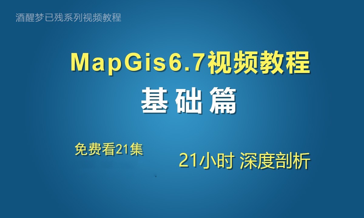
Introduction to mapgis
Through learning this video tutorial, you can quickly learn the general process of vectorization and the use of various functional modules of MapGIS6.7 software.
The MapGIS 6.7 basic video tutorial uses a picture to introduce relevant knowledge points.This video tutorial can be used as an introductory course for new users of mapgis to cultivate good mapping habits;It can also be used as an improvement course for old users of mapgis to solve common doubts and difficult problems in work.Course outline.
71 class hours·21 hours and 2 minutes101851 people studyfiveUpdated on March 25, 2020
MapGis 6.7 Practical Part Tutorial The first quarter of the course is a supplementary video based on the basic part. It mainly takes the practical problems encountered in work as specific examples, and introduces the detailed usage and skills of the projection transformation, error correction and image correction functions in MapGis.
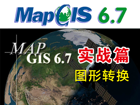
Multi facet quick learning of the transformation method between different coordinate systems of various graphs in MapGis6.7.This section mainly talks about the operation process of using seven parameters to convert the Beijing 54 three degree belt graph into the Xi'an 80 three degree belt graph, and also talks about the method of using longitude and latitude coordinates to generate the 1/10000 scale kilometer network frame of Xi'an 80 coordinate system.Beijing 54 third degree zone (six degree zone) graphics to Xi'an 80 sixth degree zone graphics This section mainly talks about the operation process of converting Beijing 54 third degree zone graphics to Xi'an 80 sixth degree zone graphics using seven parameters (direct input in the work area
4 class hours·1 hour 27 minutes1970 people studyfour point nineUpdated on March 18, 2017
This video mainly explains the direct conversion of various coordinates in MapGis6.7.Tutorial outline: geographical coordinate conversion This section explains the method of conversion between geographical coordinate system coordinate units of degrees and coordinate units of DDMMSS in MapGis6.7.The methods of single point coordinate transformation and batch coordinate transformation are introduced respectively.At last, the paper introduces how to use functions in Excel to convert the coordinates whose unit is DDMMSS into the coordinates in °′ ″ format.The geographical coordinate and the plane rectangular coordinate are mutually transferred. In MapGis6.7, the coordinate units of the geographical coordinate system are degrees and planes
7 class hours·2 hours and 4 minutes6383 people studyfour point nineUpdated on October 19, 2018
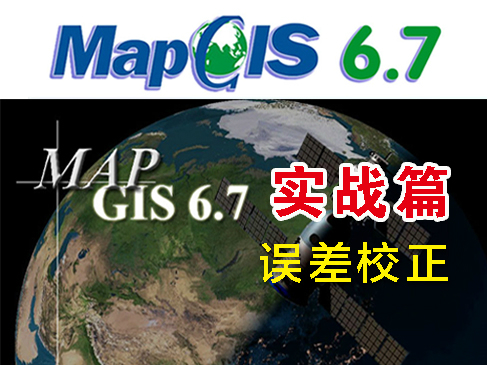
The error correction video course of MapGis6.7 practical video tutorial introduces the operation process and skills of error correction in MapGis6.7 in detail through three examples, from easy to difficult.The first example is the case provided by mapgis6.7. Example 2 and Example 3 are examples encountered in actual work.Knowledge points involved: automatic correction, manual correction, single file correction, batch file correction, and drawing frame generation based on longitude and latitude.
4 class hours·59 minutes2499 people studyfiveUpdated on March 13, 2017
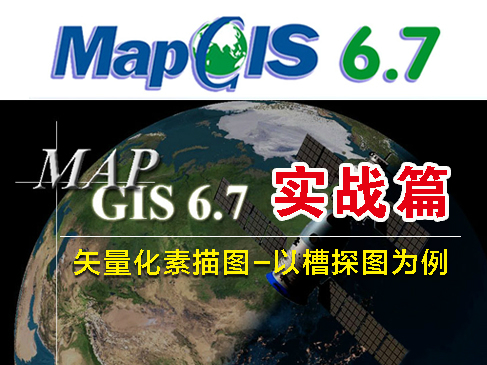
MapGis6.7 Practical Video Tutorial - Vectorized Sketch Video Course takes the trenching map as an example to introduce in detail the operation process and method of * * vectorized sketch map in MapGis6.7. This tutorial is applicable to vectorized trenching, pit exploration, shallow well and other engineering sketch maps.Starting from converting the base map to MSI format, I will teach you how to convert the MSI format, then correct the MSI image * * to the correct frame range through the image fine correction function, and finally vectorize the sketch map.Knowledge points involved: fine correction of image and image, topological area building, automatic line cutting, deletion of micro short lines, geological map
4 class hours·1 hour 23 minutes3578 people studyfiveUpdated on March 15, 2017