-
Best selling package -
Selected Package -
Popularity package -
Exclusive package -
High salary package











-
Course Introduction -
Course outline
-
Seven Skills of ArcGIS in Planning Data Management -
The production of the symbol database of land spatial planning and the location analysis map -
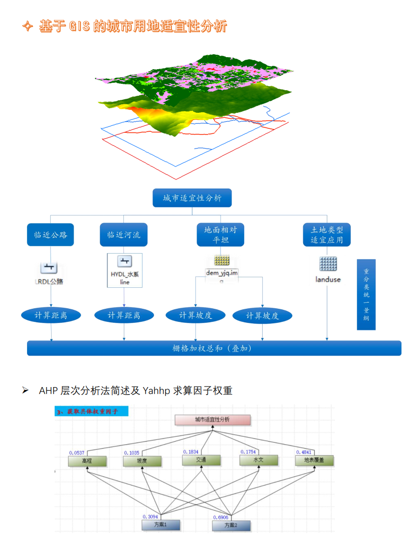
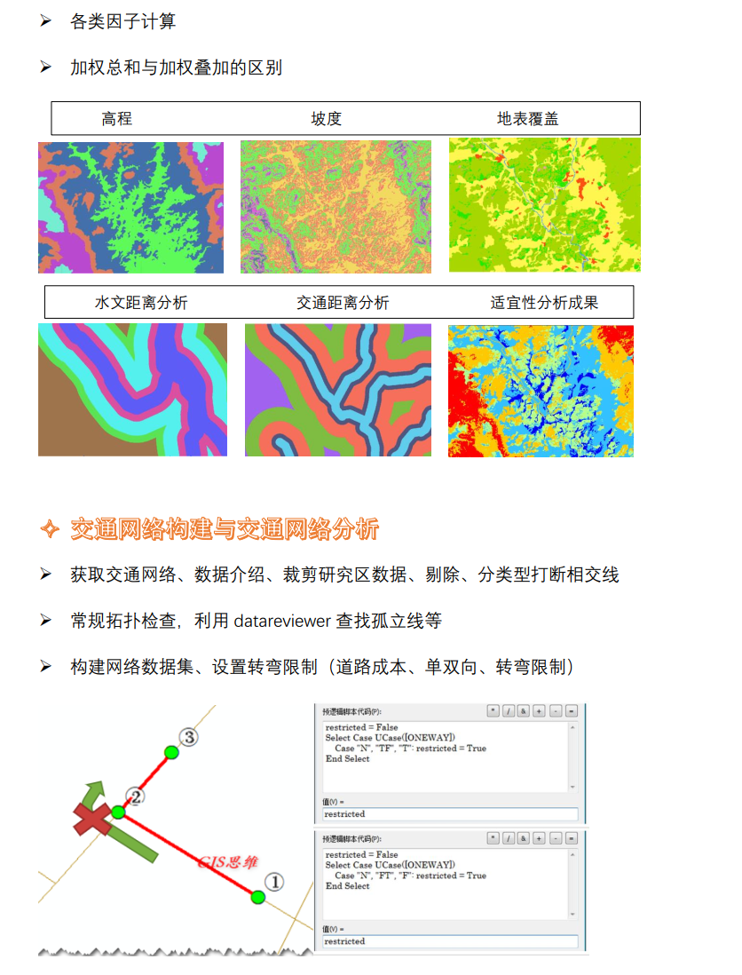
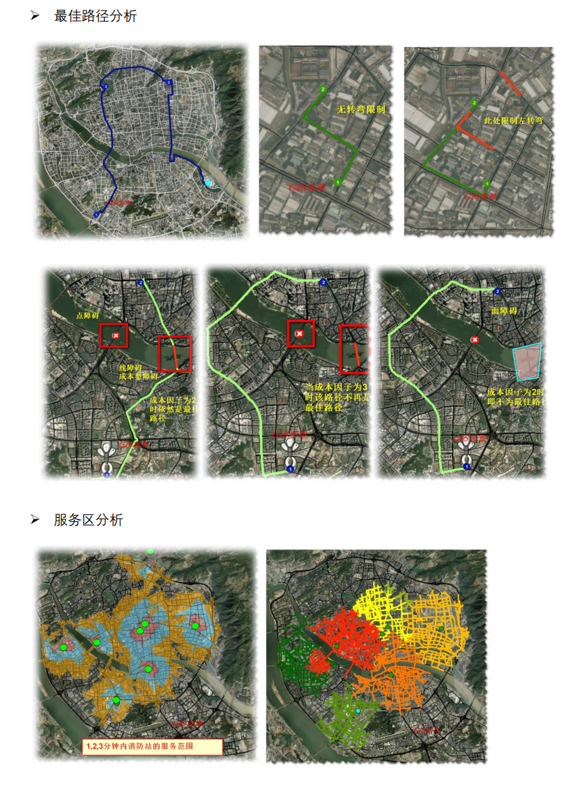
Comprehensive analysis of filling and excavation, urban suitability analysis and network analysis -
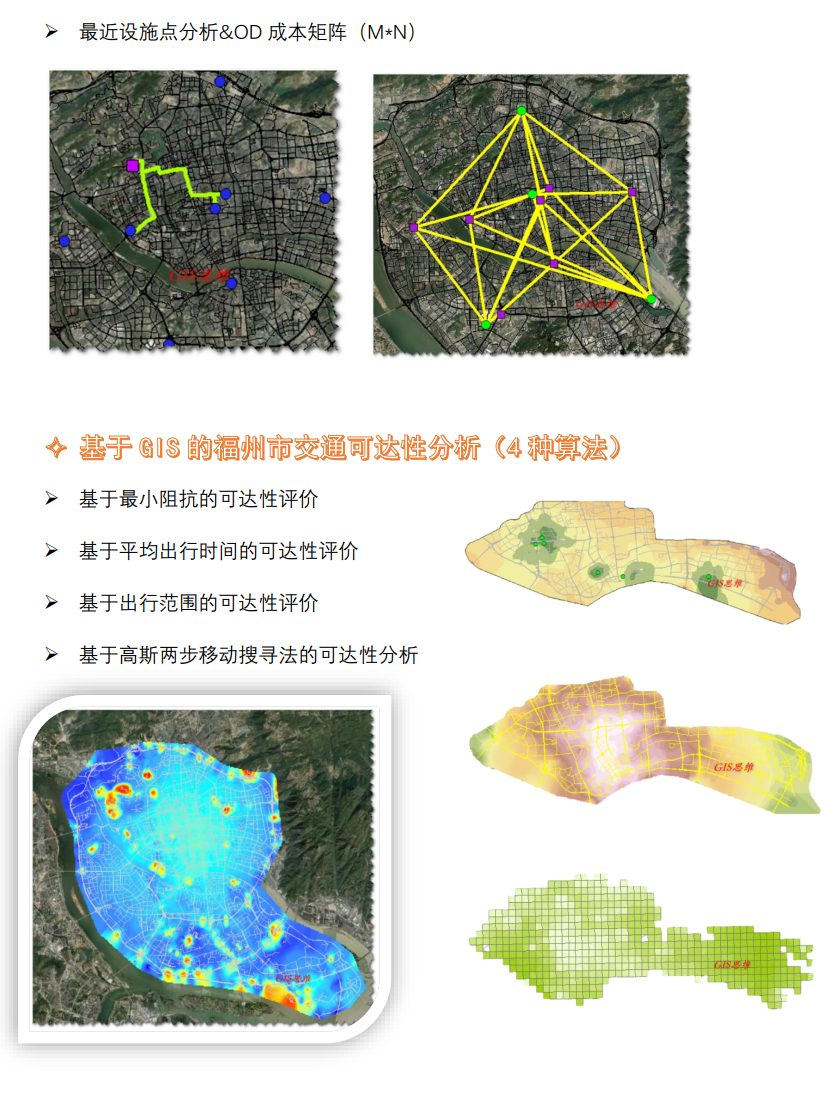
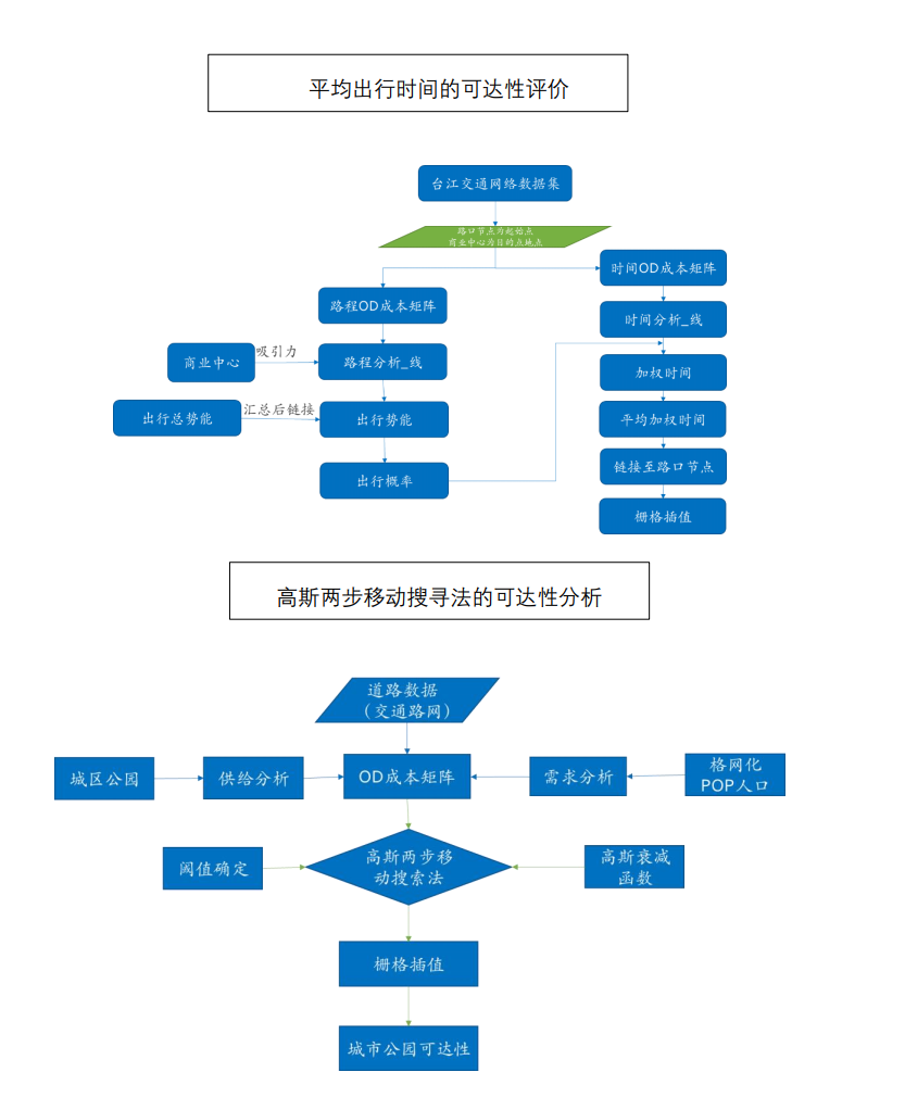
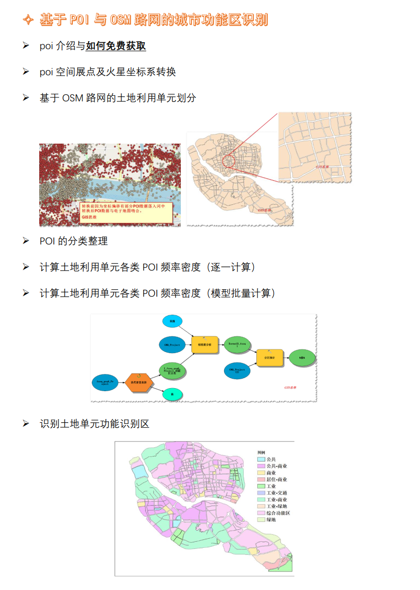
4 methods 4 cases accessibility analysis, POI functional area

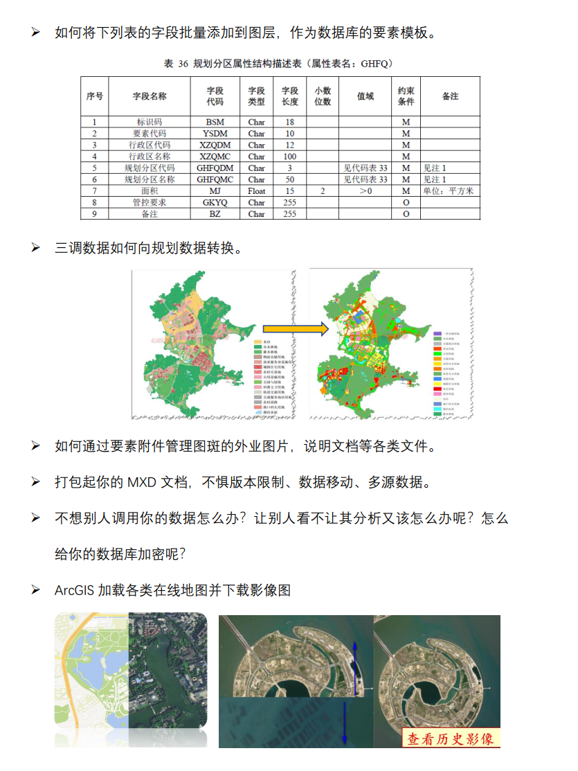
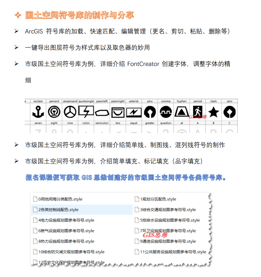
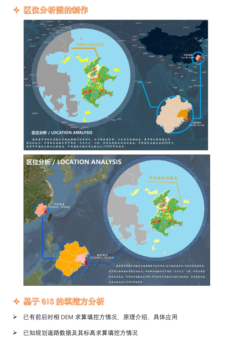
Chapter 1 Course registration instructions (11 minutes Section 2) 1-1 Introduction to the essence of the course Introduction to the essence of the course "Only for paying users" Click to download "(Syllabus) ArcGIS practical application in land space and urban and rural planning. pdf" [11:57] Start learning Chapter 2 Collection and management of planning data (2 hours and 44 minutes Section 9) 2-1 Correction of planning map published in JPG format This paper introduces in detail how to calibrate the publicly released planning map to the correct coordinate system. The principle of calibration, different resampling principles and application are introduced in detail. [40:54] Start learning 2-2 Feature template collection data auto fill attribute Feature template collection data auto fill attribute [13:34] Start learning 2-3 Using Attribute Field to Collect Data to Realize Automatic Attribute Filling and Data Checking Using Attribute Field to Collect Data to Realize Automatic Attribute Filling and Data Checking [19:46] Start learning 2-4 Batch Add Field and Change Field Order Make database element template, and realize batch addition of fields and change of field order through batch processing of field adding tool [12:34] Start learning 2-5 Conversion of three dispatch data to planning data Conversion of three dispatch data to planning data [13:20] Start learning 2-6 Introduction to Element Attachment Management and Attribute Table Link Picture Recommended Learning Introduction to Element Attachment Management and Attribute Table Link Picture Recommended Learning [18:31] Start learning 2-7 ArcMap document mxd packaging The ArcMap document mxd is packaged to avoid data path loss, complex data sources and other problems [16:31] Start learning 2-8 Encrypted file geographic database How to encrypt and decrypt the file geographic database so that the data cannot be viewed, or can only be viewed but not exported, edited or analyzed [10:56] Start learning 2-9 ArcGIS loads various online maps and downloads image maps ArcGIS loads various online maps and downloads image maps [18:04] Start learning Chapter 3 Preparation of symbol database for territorial spatial planning (2 hours and 8 minutes 6 sections) 3-1 ArcGIS fast matching symbol library and editing management Loading, quick matching, editing and management of ArcGIS symbol library (renaming, cutting, pasting, deleting, etc.) [25:05] Start learning 3-2 One key export of layer symbols and the magic use of color picker One key export of layer symbols and the magic use of color picker [09:28] Start learning 3-3 Create dot symbol (simple mark, picture, Chinese character combination symbol) Taking the municipal land space symbol database as an example, create point symbols (simple symbols, pictures, Chinese character combination symbols) [24:53] Start learning 3-4 Create point symbol (FontCreator creates font) Taking the city level land space symbol database as an example, this paper details how FontCreator creates fonts and adjusts fonts [18:08] Start learning 3-5 Creating Line Symbols (Municipal Space Symbol Library) Taking the city level land space symbol database as an example, the production of simple line, mapping line and mixed line symbols is introduced in detail [30:44] Start learning 3-6 Create face symbol (municipal space symbol library) Take the municipal land space symbol database as an example to introduce simple filling and mark filling (character filling) [20:08] Start learning Chapter 4 Preparation of location analysis map (44 minutes Section 2) 4-1 Location analysis map production Map page setting, layout setting, inserting multiple data frames, data frame clipping, vector layer mask, layer symbol setting [28:35] Start learning 4-2 Location Analysis Map (II) Map text, various decoration, drawing and other tools [15:36] Start learning Chapter 5 Mass Haul Analysis (12 minutes Section 2) 5-1 Calculation of filling and excavation by existing front and rear phase DEM Existing front and rear phase DEM calculation of filling and excavation, principle introduction, specific application [08:09] Start learning


