-
Meet Xi Jinping | He said we are peers -
Fujian has "number" | digitalization makes "poetry and distance" within reach -
Li Shulei Attends the Opening Ceremony of the 6th Digital China Construction Summit in Fuzhou -
The source of investigation and research flows in Fujian -
Interpretation of the Report of the Two Sessions -
Fujian: Giving Play to Its Advantages, Forging Ahead and Creating a New Situation for the Development of Private Economy
-
The first meal of school for escort, we prepare "food" -
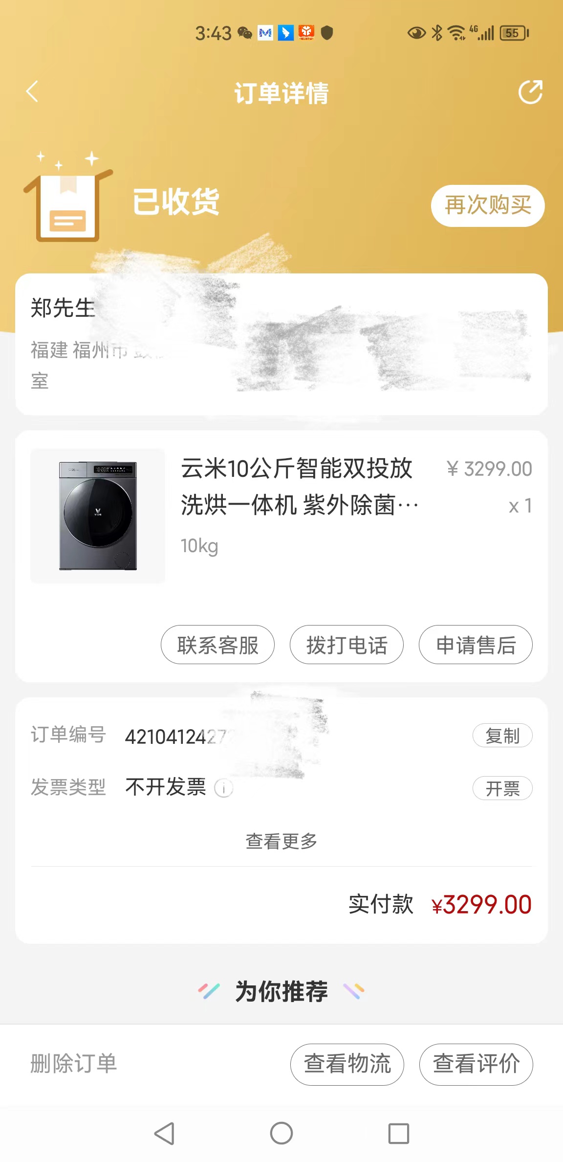
Online shopping is easy to place orders, and after-sales rights protection is difficult -- Yunmi whole house Internet appliances are accused -
Businesses procrastinate and do not want to perform the contract, consumers complain and protect their rights -
The Private Education Agreement is suspected of infringement -
Construction waste on the roof of Fuzhou Hongda Building threatens pedestrian safety -
Liquor sellers who sell infringing liquor were fined 22000 -
Refusal of winning the lottery, assisted by the consumer insurance center -
A manufacturer of unqualified sphygmomanometers in Xiamen was fined 10000 yuan -
Xianyou: False advertising merchants will be fined 4000 -
Jin'an: Mediate two complaints to help prevent and control the epidemic
-
Online shopping is easy to place orders, but after-sales rights protection is difficult - Yunmi Whole House Mutual -
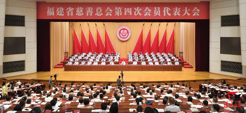
The fourth member representative meeting of Fujian Charity Federation was held -

This year, Xi Jinping's anti epidemic "cloud diplomacy" highlighted major countries -
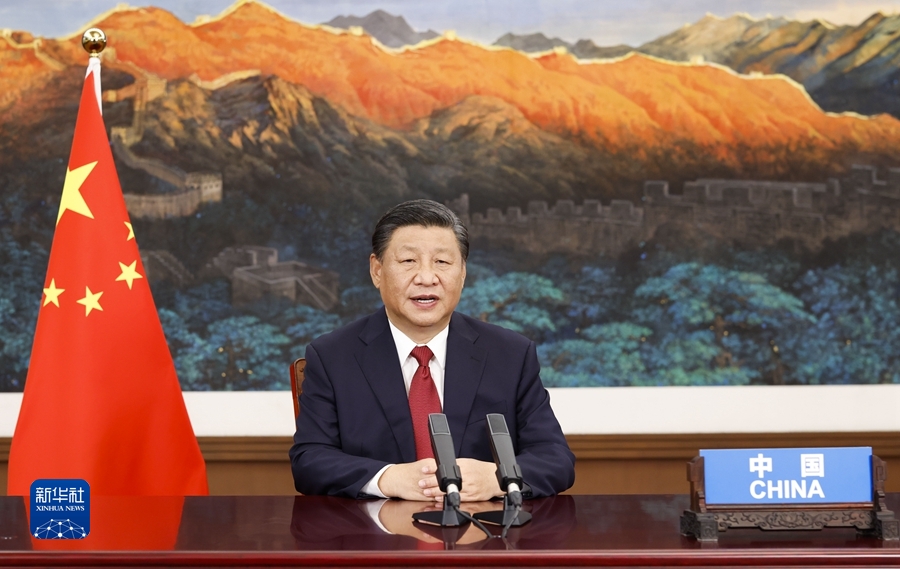
A special commemorative summit brought more than 2 billion people -
Why does Xi Jinping emphasize "the real -

Initial impression | witness the history of "entering the world hammer" -
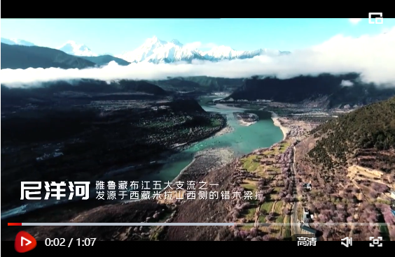
Xi Jinping's trip to Tibet - the first stop to the Yarlung Zangbo River and -
”Special Column "Market Supervisor Presents Centennial Party Building"
-
one Zhenghe seized the "black refueling" site -
two The new electric vehicle is now in the "old state" of exchange, and encounters a kick -
three How can you buy a car for compulsory insurance -
four More than 3 million Mercedes Benz and Toyota to be recalled -
five Fuzhou owners questioned the design defects of Mercedes Benz smart -
six 12 points were deducted for the man who rode the electric vehicle with a driver's license exceeding the standard -
seven Fujian Traffic Police Exposes Typical Cases Three Types of Accidents on Highways Are Likely to Cause Death -
eight Hong Kong University of Science and Technology successfully developed the first unmanned vehicle in Hong Kong -
nine New routine of WeChat business "showing off wealth": entering 4S stores, not buying cars, taking group photos with luxury cars and surfing the Internet -
ten Xiamen Traffic Police: 116673 cases of electric vehicle traffic violations were investigated and dealt with in the first ten months of this year