Symbiosis Earth app official version It was made by Changguang Satellite Satellite map software , can help you better navigate and query the map. You can use this software to easily carry out relevant search services, and can view the WeChat Real scene, can carry out online survey, very accurate data, can see the world at home, very easy to use software, if you need to try.
Introduction to Symbiosis Earth Mobile Edition
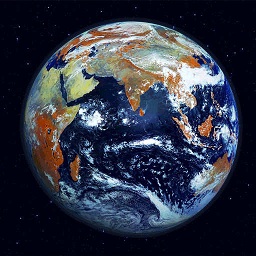
Changguang Satellite Symbiosis Earth, a high-definition satellite map, field survey map, fishing outdoor map, professional 3D world map software, similar to Google Earth 。 The convenient satellite map tool has similar functions to Google Earth, but it provides many practical functions. In addition to daily navigation and map query, it can also carry out outdoor exploration, 3D models, etc.

Symbiosis Earth Client Features
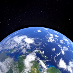
1. High definition satellite map : With high-definition and high-resolution satellite maps, you can see the cars running on the road;
2. Realistic map : Support the national real street view map of more than one place, which is closer to the street view directly.
3. Multi map source support : Multiple map sources are supported, and you can quickly switch to any supported map source;
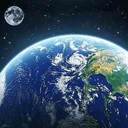
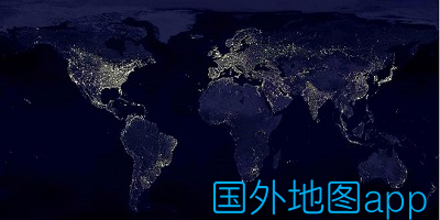
4. Global satellite map : Support global satellite map display, and visit the world without leaving home;
5. Custom map source: Tile map source supporting multiple protocols, fast and convenient to add and edit;
Basic gesture operation of symbiotic earth app
1. Open the home page, a full picture of the world will appear, click the small rocket to refresh the current regional content;

2. Long press the small rocket for two seconds to jump to;

3. Slide the two fingers up in parallel to switch the 3D view angle.
 f
f
software function
1. Users are supported to publish information on the map and participate in interactive discussions on topics. A map of the world is updated every year, and a large number of historical images are available for viewing. 3D display of terrain and landform, high-definition restoration of the earth's original appearance.
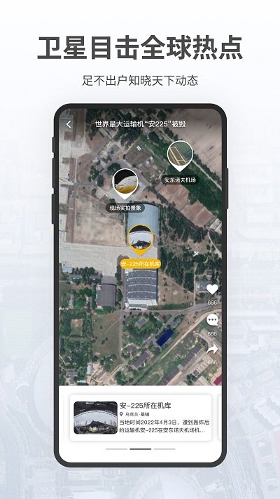
2. It also has an encyclopedia of the earth to show the urban characteristics. Global hot spot information is tracked in real time, satellites directly hit the event progress, and remote sensing images are compared before and after, so the latest progress is clear at a glance.
3. Satellite monitoring helps agricultural development and public welfare projects, tracks and monitors environmental changes, quickly responds to disaster relief, and provides image insight into urban development. Brush the map to explore the interesting things around and find a good place to eat, drink and have fun.
Software highlights
[HD satellite image source]
Exclusive provision of the latest remote sensing map source. A map of the world is updated every year, and a large number of historical images are available for viewing. 3D display of terrain and landform, high-definition restoration of the earth's original appearance.
[Special remote sensing service]
Remote sensing image enables more industries. Global hot spot information is tracked in real time, satellites directly hit the event progress, and remote sensing images are compared before and after, so the latest progress is clear at a glance. Satellite monitoring helps agricultural development and public welfare projects, tracks and monitors environmental changes, quickly responds to disaster relief, and provides image insight into urban development.
[Jilin No.1 is on standby]
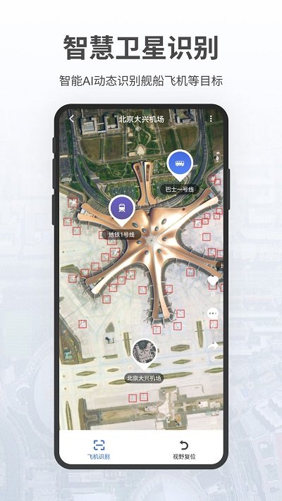
54 "Jilin No. 1" satellite constellations provide all-weather service. The powerful remote sensing image capability supports more application possibilities, opens the satellite shooting function with various playing methods, provides access to subscription satellite remote sensing images, and makes global data accessible.
Multi dimensional geographic information
God's perspective overlooks the beautiful planet and feels the unprecedented visual impact. High definition and exquisite satellite wallpaper 、 UAV Aerial images and high-definition panoramic images are displayed together to realize more geographic information applications.
Practical Geographic Tools
A variety of geographical exploration tools. Route planning , real-time track, outdoor measurement, photo and card punching, offline map and other functions help geographical exploration and mapping planning, and realize one-stop service of geographical information. It also has an encyclopedia of the earth to show the urban characteristics.
[Immediate Share life 】
Share your moments on the map. Brush the map to explore the interesting things around and find a good place to eat, drink and have fun. Users are supported to publish information on the map and participate in interactive discussions on topics.
Update log
V1.1.18
1. Add a new intelligent toolbox, integrate intelligent assistant, intelligent cultural tourism planning, intelligent area identification and other functional portals;
2. New intelligent cultural and tourism planning function and travel strategy intelligent recommendation;
3. Add intelligent area recognition function to identify personalized recommendation content in the current area;
4. Optimize the search content recommendation function;
5. Optimize the use experience of some functions.
V1.1.14
Version iteration, bug correction